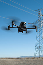
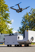
DJI Agras T50 Ultimate Combo
The DJI Agras T50 Ultimate Combo combines versatile spraying and spreading capabilities with precise mapping and spraying features, making it an all-in-one solution for efficient farming.
DJI Agras T50 Ultimate Combo
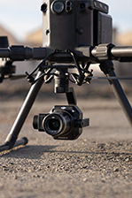
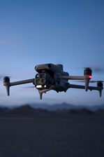
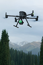
The DJI Agras T50 Ultimate Combo comes with the DJI Agras T50 Spreading System and DJI Agras T50 Atomized Sprinkler Package, introducing even more versatility - increase your spraying flow rate to 24 L/min with the 4-sprinkler spraying system, and combine this with fast and uniform spreading with this all-in-one agricultural drone. In addition, this combo includes the DJI Mavic 3 Multispectral drone and DJI RTK D-RTK Base Station 2, allowing you to easily and efficiently map, precision spray, and prescription spray your farm.
The Ultimate Combo includes:
|
DJI Agras T50 Spreading System × 1 |
DJI Agras T50 Atomized Sprinkler Package × 1 DJI Mavic 3 Multispectral × 1 DJI Care Enterprise Basic (Mavic 3M) NZ × 1 DJI Mavic 3 Series Battery Kit (100W Enterprise version) × 1 DJI RTK D-RTK Base Station 2 × 1 DJI RTK Base Station Tripod × 1 Go Professional D-RTK Tripod Bag × 1 Go Professional D-RTK Ground Station Bag × 1 |
Features
Ready, Steady, Go
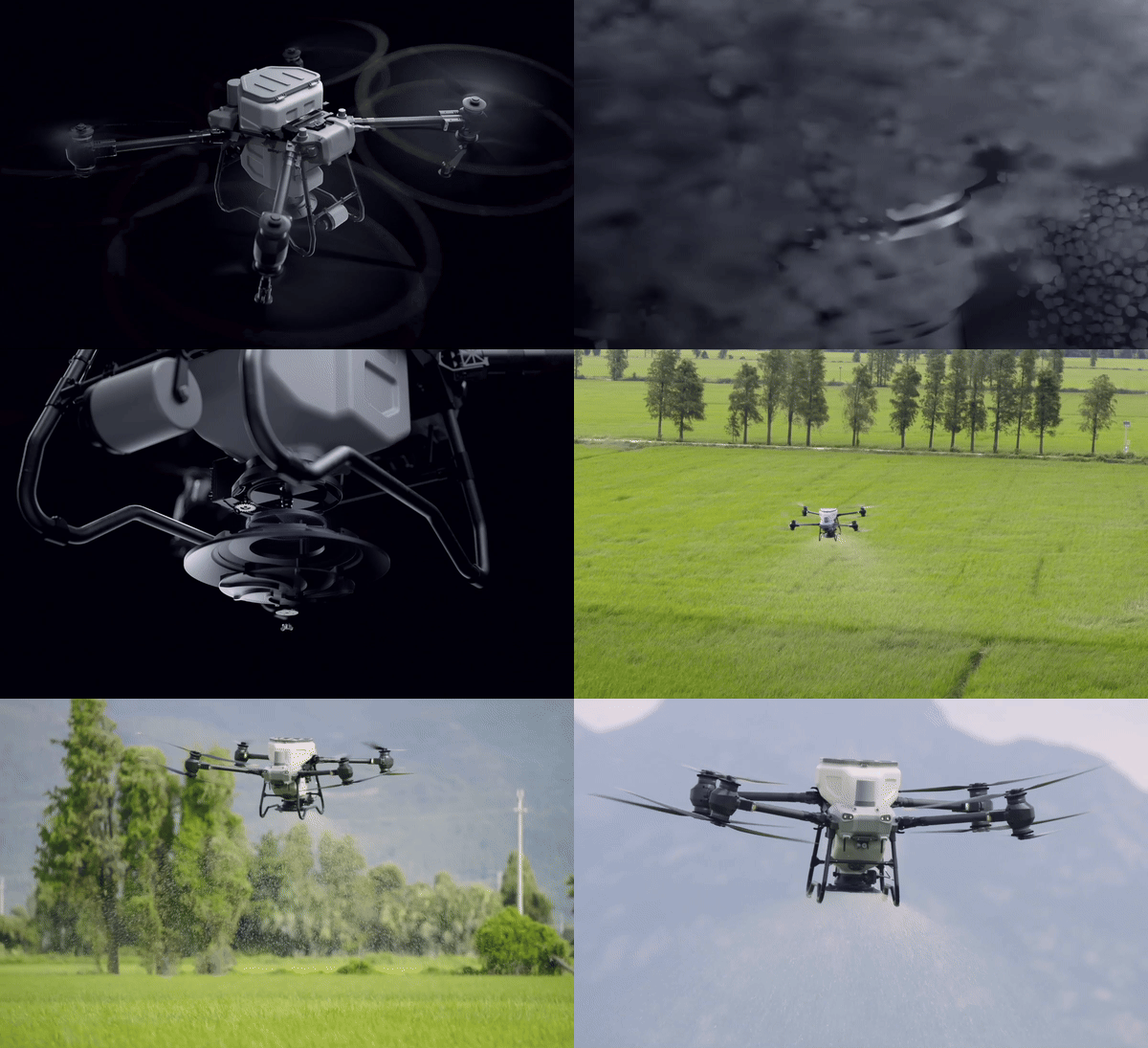
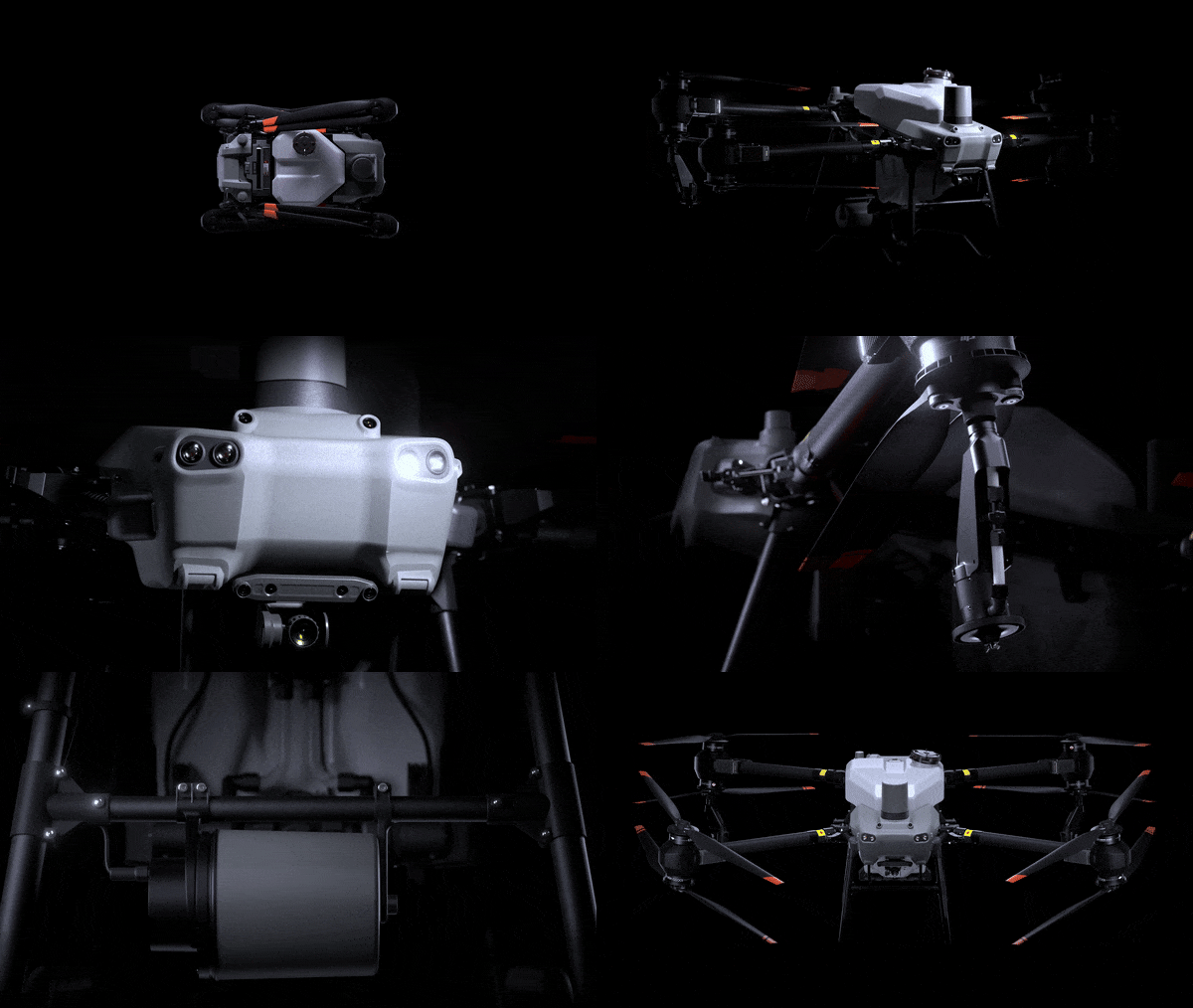
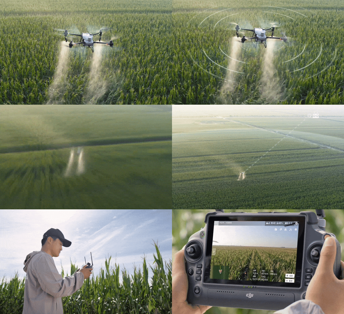
DJI Agras T50 elevates drone agricultural operations to new heights. It inherits a powerful coaxial twin-rotor propulsion system and a split-type torque resistant structure for next level stability when carrying 40 kg spraying[1] or 50 kg spreading[1] payloads. DJI Agras T50 leverages a Dual Atomising Spraying System, Front and Rear Phased Array Radars, and a Binocular Vision System. DJI Agras T50 excels across multiple scenarios, from surveying[2] to spraying and spreading, guaranteeing stable operations and steady performance.
|
Heavy Payload |
High Flow Rate |
Signal Stability |
|
All Scenario Adaptability [5] |
Multidirectional Obstacle Sensing[6] |
Four Sprinkler Kit |
|
Field Operations |
Orchard Operations |
Spreading Operations |
Spraying System
High Rate, Atomised Spray, Leak Free
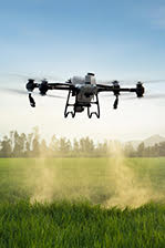
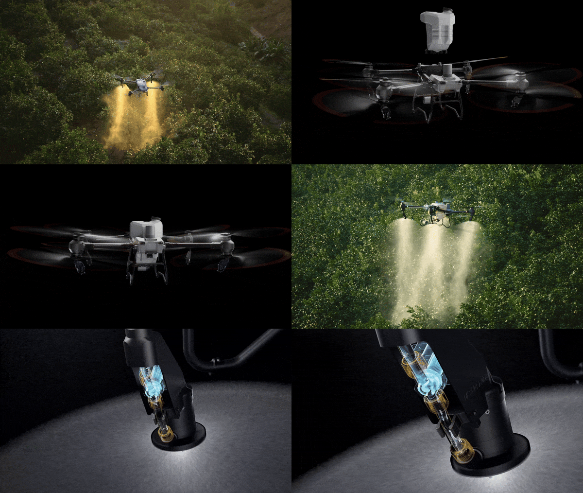
DJI Agras T50's Dual Atomising Spraying System provides an ultra-large flow rate of up to 16 L/min (2-sprinkler spraying). It produces uniform and fine spray droplets, and does not leak. The DJI Agras T50 can be equipped with an additional pair of centrifugal sprinklers, increasing flow rate to 24 L/min (4-sprinkler spraying) for operations that require high application volume. When flying manually, use Reverse Directional Spray with four sprinklers to simplify operations without having to make turns.
Magnetic Drive Impeller Pump
Dual pump flow rate of up to 24 L/min[3]. This is a 100% increase compared with the previous generation, to meet demands of fields, orchards, and high-temperature environments.
Dual Atomising Centrifugal Sprinklers
Droplet size can be adjusted between 50-500 μm, depending on the chemicals used.
Brand-New Solenoid Valves
Precision starting and stopping eliminates leaking.
DJI Agras T50 Spreading System (50 kg)[1]
1,500 kg per hour[10]
DJI Agras T50's new spreader and spiral channel spinning disk significantly improve spreading efficiency and smoothness.
50 kg Payload[1]
75 L max capacity and an expanded loading gate for quick refills.
Smooth Spreading
The torque of the spreader is doubled and the discharge hatch is enlarged to enable a flow rate up to 108 kg/min[4].
Uniform Spreading
DJI Agras T50's spiral channel spinning disk makes spreading more uniform.
Low Rate Spreading
You can also switch to small hopper gates to improve spreading accuracy with a low flow rate.
Real-Time Weighing
DJI Agras T50 is equipped with a weighing sensor which allows you to monitor the remaining payload in real time.
Fast Disassembly and Cleaning
The spreader can be quickly disassembled and cleaned for easy maintenance.
Tested for reliability, durability, and safety
Spraying and spreading operations are frequent, intense, and take place in complex environments. The DJI AGRAS T50 has passed hundreds of reliability tests and its main body is durable to help ensure safe operation.
Double your peace of mind with Binocular Vision and Dual Radar
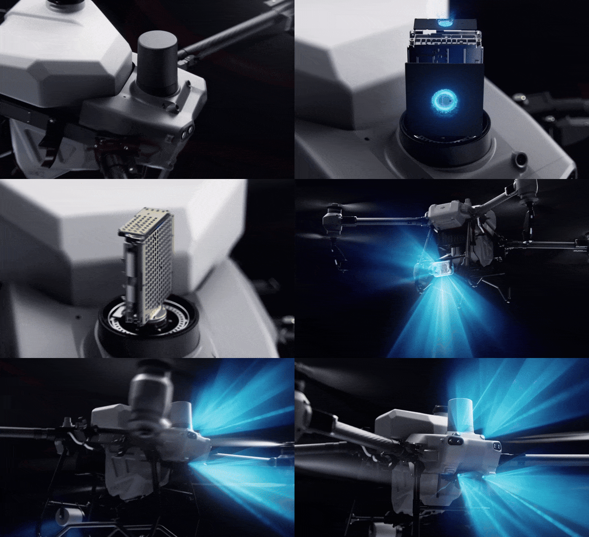
DJI Agras T50 is equipped with front and rear Active Phased Array Radars with double the number of RF channels[17] for higher detection precision. Together they enable Multidirectional Obstacle Sensing[6], elevating operating safety. Two sets of Binocular Vision sensors enable DJI Agras T50 to accurately sense terrain and depict obstacles in detail, for automatic obstacle bypassing[11] and Terrain Following[11] over steep slopes.
Obstacle Detection
Terrain Projection Obstacle Bypassing
One drone for surveying[2], spraying, and spreading
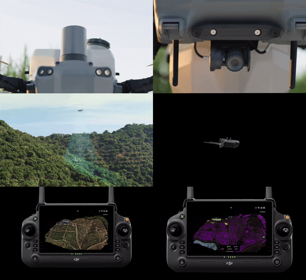
DJI Agras T50 integrates aerial surveying[2], spraying, and spreading into a single drone. A high-resolution FPV gimbal camera enables real-time capture of field and orchard images. Paired with DJI RC Plus and RTK service, you can generate high definition maps which underpin subsequent automatic flight routes. DJI Agras T50 can take off and perform automatic operations, all at the push of a button.
Orchard Aerial Survey[2]
DJI Agras T50 supports obstacle bypassing and Terrain Following for surveying[2] of orchards on slopes up to 20°[5]. With DJI RC Plus and its real-time mapping capabilities, it can automatically identify fruit trees and obstacles. Based on the distribution of the fruit trees, it can generate accurate and fully automatic 3D flight routes.
5 hectare orchard mapped in 10 minutes[12]
Field Aerial Survey[2]
Area Route
13 hectare field mapped in 10 minutes[12] Survey the entire field, automatically identify field boundaries and obstacles, and plan more precise flight routes.
Boundary Route
13 hectare field boundary mapped in 3 minutes[12] Suitable for fields without obstacles in the middle.
High Brightness Widescreen Remote Controller
DJI RC Plus has a 7-inch high brightness screen and an 8-core processor for smooth operations. Intelligent route planning minimises distances flown with a full tank, greatly increasing operation efficiency. Manual mode allows you to control operations at will.
Multi Plot Operations
Sided Spraying
Orchard Mode Spreading
Orchard Route Segmentation
Signal Stability
The new and upgraded quad-antenna O3 Transmission system works offline even in areas without cellular coverage, offering a transmission range of 2 km [13]. Its anti-interference ability helps ensure high signal quality during operations over tall crops.
DJI Relay (Optional)
DJI Relay ensures smooth real-time video transmission for safer flights even in complex operation scenarios with signal obstructions.
C8000 Intelligent Charger
Up to 7,200 W charging[16]
Dual-channel alternated charging
Power-adaptive protection
Smart Agriculture Ecosystem
Pair DJI AGRAS T50 with the new Mavic 3M and leverage multispectral data to minimise inputs and maximise yields. Survey your farm and generate prescription maps to guide variable rate fertilisation and crop protection. Quickly patrol fields to identify growth stress.
Notes:
[1] Data was measured at sea level. The payload weight is greatly affected by the ambient temperature and altitude. The take-off payload weight needs to be reduced by 10 kg for every 1,000 m increase in altitude. The DJI Agras app will recommend the payload weight according to the current status and surroundings of the aircraft. When adding materials, the maximum weight should not exceed the recommended value, otherwise flight safety may be compromised.
[2] RTK is required.
[3] Maximum spraying flow rate with two sprinklers is 16 L/min. Maximum spraying flow rate with four sprinklers is 24 L/min.
[4] Data measured with 4 mm diameter urea. The maximum flow rate may vary depending on the granule size, density, and surface smoothness of different fertilizers.
[5] To ensure a high success rate of surveying and mapping, DJI AGRAS T50 can automatically adjust its flight speed based on the hill slope. The steeper the slope, the slower its speed.
[6] The effective sensing range and its ability to avoid and bypass obstacles will vary depending on the ambient light, rain, fog, and the material, position, shape, and other properties of the obstacles. Downward sensing is used for Terrain Follow and Altitude Stabilization. The sensing in other directions is used for Obstacle Avoidance.
[7] Charging from 30% to 95%. Factors impacting charging time: Altitude of the charging station; Charging cable meets requirements for fast charging; Battery cell's temperature is in the range of 15° to 70° C (59° to 158° F)
[8] Data was measured with the DJI AGRAS T50 and may vary based on operating environment and parameters. Flight parameters for this test: Dosage of 15 L/ha, spraying width of 11 m, flight speed of 7 m/s, and height of 3 m.
[9] Data was measured with the DJI AGRAS T50 and may vary based on operating environment and parameters. Flight parameters for this test: Dosage of 90 L/ha, spraying width of 4 m, flight speed of 4 m/s, and height of 3 m.
[10] Data was measured with urea and may vary by granule type, operating environment, and parameters. Spreading parameters for this test: Dosage of 225 kg/ha, spreading with of 8 m, flight speed of 10 m/s, height of 4 m, and spinning disk speed of 1,000 r/min.
[11] Obstacle Bypassing is supported in the forward direction. The Terrain Follow and Obstacle Bypassing features are not supported at night or in low light environments. Fly with caution. Obstacle Bypassing is not recommended around electric or guy wires.
[12] Refers to the mapping time after completing the aerial survey. Time varies depending on the firmware version, type of aerial survey, and other factors.
[13] Measured at a flight altitude of 2.5 meters, without obstruction or electromagnetic interference.
[14] Batteries are covered by warranty for up to 1,500 charging cycles or 12 months, whichever ends first.
[15] Compared with third-party general-purpose generators equipped with a smart charger.
[16] To achieve fast charging, the C10000 Intelligent Charger, the C8000 Intelligent Charger, the generator, or utility output power must use the fast-charging connection method that meets the requirements.
[17] Compared with T40 Omnidirectional Active Phased Array Radar.
[18] Generator only available in select countries and regions. Please contact your local dealer for more details.
"
Product Specifications
Aircraft
Weight: 39.9 kg (excl. battery)
52 kg (incl. battery)
Max Takeoff Weight[1]: Max takeoff weight for spraying: 92 kg (at sea level)
Max takeoff weight for spreading: 103 kg (at sea level)
Max Diagonal Wheelbase: 2200 mm
Dimensions: 2800×3085×820 mm (arms and propellers unfolded)
1590×1900×820 mm (arms unfolded and propellers folded)
1115×750×900 mm (arms and propellers folded)
Hovering Accuracy Range (with strong GNSS signal): D-RTK enabled:
Horizontal: ±10 cm, Vertical: ±10 cm
D-RTK disabled:
Horizontal: ±60 cm, Vertical: ±30 cm (radar module enabled: ±10 cm)
RTK/GNSSOperating Frequency: RTK:
GPS L1/L2, GLONASS F1/F2, BeiDou B1I/B2I/B3I, Galileo E1/E5b, QZSS L1/L2
GNSS:
GPS L1, GLONASS F1, BeiDou B1I, Galileo E1, QZSS L1
Max Configurable Flight Radius: 2000 m
Max Wind Resistance: 6 m/s
Propulsion System - Motors
Stator Size: 100×33 mm
KV: 48 rpm/V
Power: 4000 W/rotor
Material: Nylon carbon fiber filament
Dimension: 54 in (1371.6 mm)
Propeller Rotation Diameter: 1375 mm
Quantity: 8
Dual Atomizing Spraying System - Spray Tank
Material: Plastic (HDPE)
Volume: 40 L
Operating Payload [1]: 40 kg[1]
Quantity: 1
Model: LX8060SZ
Quantity: 2
Nozzle Distance: 1570 mm(Rear Nozzles)
Droplet Size: 50-500 μm
Effective Spray Width [2]: 4-11 m (at a height of 3 m above the crops)
Type: Impreller pump (magnetic drive)
Quantity: 2
Single Pump Flow Rate: 0-12 L/min
Max Flow Rate: 16 L/min (2 nozzles); 24 L/min (4 nozzles)
T50 Spreading System
Compatible Material Diameter: 0.5-5 mm dry granules
Spread Tank Volume: 75 L
Spread Tank Internal Load [10]: 50 kg
Spread Width: 8 m
Phased Array Radar System
Model: RD241608RF (forward phased array radar); RD241608RB (rear phased array radar)
Terrain Follow: Max slope in Mountain mode: 20°
Altitude detection range: 1-50 m
Stabilization working range: 1.5-30 m
Obstacle Avoidance [4]: Obstacle sensing range (multidirectional): 1-50 m
FOV:
Forward phased array radar: horizontal 360°, vertical ±45°, upward ±45° (cone)
Rear phased array radar: vertical 360°, horizontal ±45°
Working conditions: flying higher than 1.5 m over the obstacle at a horizontal speed no more than 10 m/s and vertical speed no more than 3 m/s.
Safety limit distance: 2.5 m (distance between the front of propellers and the obstacle after braking)
Sensing direction: 360° multidirectional sensing
Binocular Vision System
Measurement range: 0.5-29 m
Effective Sensing Speed: ≤10 m/s
FOV: Horizontal: 90°, Vertical: 106°
Operating Environment: Adequate light and discernible surroundings
Remote Controller
Model: RM700B
Operating Frequency [5]: 2.4000-2.4835 GHz, 5.725-5.850 GHz
Max Transmission Distance: 7 km (FCC), 5 km (SRRC), 4 km (MIC/CE); (unobstructed, free of interference, and at an altitude of 2.5 m)
Wi-Fi Protocol: Wi-Fi 6
Wi-Fi Operating Frequency [5]: 2.4000-2.4835 GHz, 5.150-5.250 GHz, 5.725-5.850 GHz
Bluetooth Protocol: Bluetooth 5.1
Bluetooth Operating Frequency: 2.4000-2.4835 GHz
GNSS: GPS+Galileo+BeiDou
Screen: 7.02-in LCD touchscreen, with a resolution of 1920×1200 pixels, and high brightness of 1200 cd/m2
Operating Temperature: -20° to 50° C (-4° to 122° F)
Storage Temperature Range: Less than one month: -30° to 45° C (-22° to 113° F)
One to three months: -30° to 35° C (-22° to 95° F)
Six months to one year: -30° to 30° C (-22° to 86° F)
Charging Temperature: 5° to 40° C (41° to 104° F)
Internal Battery Runtime: 3 hours 18 minutes
External Battery Runtime: 2 hours 42 minutes
Charging Type: It is recommended to use a locally certified USB-C charger at a maximum rated power of 65 W and maximum voltage of 20 V such as the DJI 65W Portable Charger.
Charging Time: 2 hours for internal battery or internal and external battery (when remote controller is powered off and using a standard DJI charger)
DB1560 Intelligent Flight Battery
Model: DB1560 Intelligent Flight Battery (BAX702-30000mAh-52.22V)
Weight: Approx. 12.1 kg
Capacity: 30000 mAh
Nominal Voltage: 52.22 V
Relay
Model: RL01-65
Dimensions: 120×110×100 mm
Weight: ≤575 g
Input Voltage [6]: 9 V3 A / 12 V2.5 A / 15 V2 A
Power Consumption: 9 W (SRRC), 12 W (FCC)
Capacity: 6500 mAh
Operating Time: 4 hours
Operating Frequency [5]: 2.4000-2.4835 GHz, 5.725-5.850 GHz
Max Transmission Distance: 5 km (SRRC), 4 km (MIC/KCC/CE), 7 km (FCC)
(unobstructed, free of interference, and at a flight altitude of 2.5 m)
Charging Time: 2 hours and 20 minutes (when using a standard DJI charger)
IP Rating [6]: IP55
Notes
[1] Data was measured at sea level. The payload weight is greatly affected by the ambient temperature and altitude. The payload weight needs to be reduced by 10 kg for every 1,000m increase in altitude. The DJI Agras app will recommend the payload weight according to the current status and surroundings of the aircraft. When adding materials, the maximum weight should not exceed the recommended value, otherwise flight safety may be compromised.
[2] The spray width of the spraying system depends on the operating scenario and demand for coverage evenness.
[3] The spread width of the spreading system depends on the operating scenario and demand for coverage evenness.
[4] The effective sensing range and its ability to avoid and bypass obstacles will vary depending on the ambient light, rain, fog, and the material, position, shape, and other properties of the obstacles. Downward sensing mainly assists in Terrain Follow and Altitude Hold. The sensing in other directions is used for Obstacle Avoidance.
[5] 5.8 GHz frequency is unavailable in some contries. Check local regulations for more information.
[6] Use chargers or external power supplies that meet the specifications. Otherwise, the device may not work normally.
[7] The protection rating may be reduced due to improper use and damage caused by external forces or environmental factors.
[8] The actual power and voltage may vary according to local regulations.
[9] Measured using RON 92 gasoline at near sea level with an ambient temperature of 25° C, while charging at 9 kW.
[10] The DJI Agras app will intelligently recommend the payload weight limit for the spread tank according to the current status and surroundings of the aircraft. DO NOT exceed the recommended payload weight limit when adding material to the spread tank. Otherwise, the flight safety may be affected.
In the box
DJI Agras DB1560 Intelligent Flight Battery (T40/T50) × 3
DJI AGRAS T50 × 1
DJI C8000 Intelligent Battery Station × 1
DJI WB37 Intelligent Battery × 1
Agras 15AMP C19 Mains Power Cable × 2
DJI 65W Portable Charger (NZ) × 1
DJI Agras T50 Spreading System × 1
DJI Agras T50 Atomized Sprinkler Package × 1
DJI Mavic 3 Multispectral × 1
DJI Care Enterprise Basic (Mavic 3M) NZ × 1
DJI Mavic 3 Series Battery Kit (100W Enterprise version) × 1
DJI RTK D-RTK Base Station 2 × 1
DJI RTK Base Station Tripod × 1
Go Professional D-RTK Tripod Bag × 1
Go Professional D-RTK Ground Station Bag × 1
WHY BUY FROM US?
By buying from Ferntech, you'll have the confidence that you are dealing directly with New Zealand's leading drone experts. Our staff are knowledgable drone pilots who offer expert advice, trusted support and superior specialist service. Only through us will you receive a full New Zealand warranty, phone and email support, and access to our certified Repairs Centre with DJI-qualified drone technicians. And we guarantee that we will have the best prices on the market — if not let us know and we will match any price (conditions apply).
Warranty Details
Aircraft
How is the flight performance of the DJI AGRAS T50?
Maximum flight altitude: 100 m (subject to local regulations, please check with your local dealer);
Longest control range: 2,000 m;
Maximum flight speed 10 m/s, maximum operating flight speed 10 m/s
What factors determine battery life and flight time (typically 12-15 minutes)?
- Payload weight
- Rate of payload release
- Craft speed
- Wind conditions
- Terrain during missions
What is the rotating direction of the propellers on the DJI AGRAS T50?

Dual Atomizing Spraying System
What is the droplet size of the dual atomized spraying system of the DJI AGRAS T50? Is the droplet size adjustable?
Droplet size: 50-500 μm.
The droplet size can be customized or set to one of six droplet size levels: Very Coarse, Coarse, Medium, Fine, Very Fine, and Extremely Fine.
Does the AGRAS T40 support the optional Centrifugal Nozzle Kit?
No.
Is the AGRAS T40 compatible with the spraying system of the DJI AGRAS T50?
No.
Active Phased Array Radar System + Binocular Vision System
What functions provided by Active Phased Array Radars and Binocular Vision systen are supported on the DJI AGRAS T50?
1. Multidirectional Obstacle Sensing on the horizontal plane as well as Obstacle Bypassing in the direction of the drone's nose.
2. Steep-slope Terrain Follow.
On what conditions can the Active Obstacle Bypassing and Terrain Follow features be used for operations with the DJI AGRAS T50?
1. These features can be used in AB flight routes and fully automatic operations, but not in manual routes.
2. The light intensity must be moderate, the scenarios must have rich texture features, and the Binocular Vision System must be free of stains or obstructions.
3. Active Obstacle Bypassing is supported at an altitude of 2.5-8 m. Terrain Follow is supported at an altitude of 1.5-30 m.
4. Obstacle Bypassing is not recommended around electric or guy wires.
Surveying and Mapping
What is the maximum slope that is supported in area surveying with the DJI AGRAS T50?
It can survey slopes up to 20°.
*To ensure a high success rate of surveying and mapping, DJI AGRAS T50 will automatically adjust its flight speed based on the hill slope. The steeper the slope, the slower its speed.
What are the differences between Area Route surveying and Boundary Route surveying on the DJI AGRAS T50?
Area Route surveying: Surveys and maps all areas and automatically detects field boundaries and obstacles.
Boundary Route surveying: Surveys and maps the 20 m wide area around the field boundary. This mode is capable of quickly surveying large areas and is suitable for areas without obstacles.
Can field and 3D orchard routes surveyed by the DJI AGRAS T50 be used by other AGRAS series drones?
Orchard and field routes are compatible with T series AGRAS drones. Before a mission, check operating parameters such as the field margins, route spacing, and flight speed.
Is RTK required for FPV mapping with DJI AGRAS T50?
Yes.
Charging Device
Does the DJI AGRAS T50 come with an air-cooled heat sink?
Yes.
What are the DB1560 Charge Times with the C8000 Charge Station?
Fast Charge: Under 10 minutes with two 15-amp plugs connected
Normal Charge: Under 18 minutes with one 15-amp plug connected
Spreading System
How does the DJI AGRAS T50 Spreading System work in low application rate scenarios such as seeding spreading?
The DJI AGRAS T50 Spreading System supports switching to a small hopper gate. Low flow rate spreading is more precise.
Does the DJI AGRAS T50 Spreading System support powder spreading?
No.
Has the spreading performance of the DJI AGRAS T50 spreading system been improved?
1. Larger discharge hatch, flow increase, and a maximum 108 kg of granules can be spread per minute;
2. With the spiral channel spinning disk, spreading is more uniform;
3. Capacity has been increased to 75 L.
DJI RC Plus
Has any improvement been made to the video transmission signals of the DJI AGRAS T50?
The DJI AGRAS T50 has DJI's new O3 video transmission system equipped with four antennas. It can transmit smoother images when working with tall crops. The video transmission signal quality is greatly improved.
Does the DJI RC Plus come with an RTK High-Precision Positioning Module and adapter?
It's an optional module.
DJI Relay Module
Which models of drones can be paired with the DJI Relay Module?
AGRAS DJI AGRAS DJI AGRAS T50, AGRAS T25, AGRAS T40, and AGRAS T20P.
What do I need to pay attention to when setting up a DJI Relay Module?
1. Connect the support rod via the adapter and secure the DJI Relay in an open and unobstructed area.
2. Make sure that the DJI Relay is installed at least 2 meters higher than obstacles to ensure smooth signal transmission.
3. Do not use the DJI Relay during thunderstorms.
Does the DJI Relay Module support concurrent signal transmission to multiple drones?
No.
DJI SmartFarm Web
Photos taken by which aircraft models can be reconstructed using DJI SmartFarm Web?
Phantom 4 RTK, Phantom 4 Multispectral, DJI Mavic 3 Multispectral and DJI Mavic 3 Enterprise are supported. Photos taken by non-DJI aircraft are not supported.
Which scenarios can be reconstructed by using DJI SmartFarm Web?
Field, orchard, and multispectral scenarios can be reconstructed.
What is the maximum number of photos that can be reconstructed using DJI SmartFarm Web?
The upload limit for a single mission is 20,000 photos, including TIF format photos. We recommend that you upload no more than 10,000 photos per mission.
What agricultural applications can be implemented using DJI SmartFarm Web with DJI Mavic 3M and DJI AGRAS drones?
Elevation Analysis: Monitor elevation data to analyze land level status and provide guidance on leveling operations to improve efficiency.
Crop growth monitoring: Observe crop growth through NDVI and other vegetation indices to identify seedling emergence, nutritional status, weed distribution, water stress, and other conditions, to improve field scouting efficiency.
Prescription Maps: Generate prescription maps for variable rate fertilization and crop protection based on crop growth monitoring results, ensuring even growth and reducing the application of chemicals.
Fruit tree counting: Automatically count fruit tree numbers.
Surveying and mapping of orchards and farmlands: Map operation areas and plan fully automatic routes for AGRAS drones.
Farmland surveying and mapping: Generate high-resolution maps where farmland boundaries are automatically extracted, allowing users to survey the cultivated area.
How do new DJI AGRAS drone users obtain access to DJI SmartFarm Web?
DJI SmartFarm Web is at free trial currently. Follow up for updates.
There's currently no reviews for this product, be the first to write one.


