


Survey Drones | DJI Ferntech
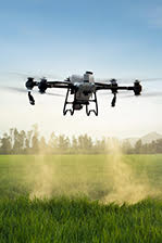
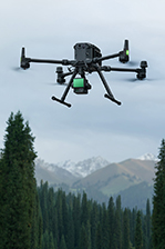
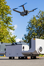
Drones have now become a must-have in every surveyor's toolkit. Over the last year, surveyors have been embracing drone technology for greater accuracy and efficiency across a range of projects.
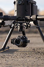
At Ferntech, our team work closely with surveyors to help them find the best solution for their project. Our clients are utilising drones across a range of activities, including project planning, site mapping, volume calculations, progress-tracking, inspection, and more.
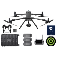
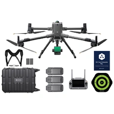
Check out our range of drone solutions below, visit our Drone Surveying & Mapping page for more information about the benefits of these specialist aerial solutions, and make an enquiry with our team to get special commercial pricing.
Surveying & Mapping Let’s Chat

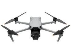
$9,999.00
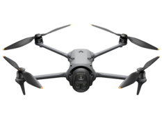
Contact for Pricing

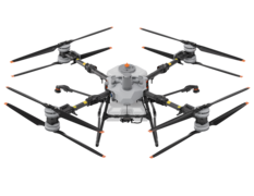
Contact for Pricing
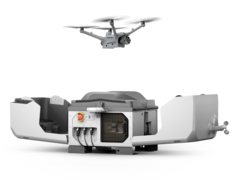
Contact for Pricing

Contact for Pricing

Contact for Pricing

Contact for Pricing


Contact for Pricing

Contact for Pricing

Contact for Pricing


