


Guide To Navigating Drone Certification in New Zealand
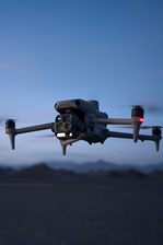
Drones have surged in popularity for commercial purposes in recent years, becoming a useful and often essential tool for many industries across New Zealand. From surveying and mapping to asset inspection and automated missions, this technology is reshaping how we work, reducing the time, cost, and risk across all projects, big and small.
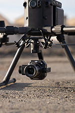
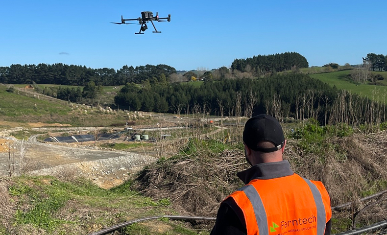
If you're a professional surveyor using drones, understanding New Zealand's Civil Aviation Authority (CAA) requirements is crucial for safe and legal drone operation. Fortunately, the process is not as daunting as it may seem. While there are some strict rules to follow, a lot of these are common sense and won’t limit your ability to safely and efficiently complete your aerial surveying projects.
One of the most common questions about New Zealand drone operation is whether a license is required – the short answer is no, but it does depend on the nature of your drone use. In essence, any surveyor adhering to Part 101 does not need a license, however advanced operators may need Part 102 certification under specific circumstances, such as beyond visual line of sight (BVLOS) or flying at night. So what is Part 101, and what do you need to do?
Part 101 of the Civil Aviation Rules covers the fundamental guidelines for operating drones without needing certification or a license. These rules aren’t overly restrictive, and can give surveyors plenty of freedom to perform high-precision surveys every day, with no drone certification required. Here's a summary of the key rules:
Line of Sight: You must always keep your drone within your visual line of sight. While this may seem limiting at first, it is entirely possible to survey large areas of land while maintaining line of sight with your drone.
Height Restrictions: Drones must not fly higher than 120 metres (400 feet) above ground level.
No-Fly Zones: Avoid flying in controlled airspace and near aerodromes, unless you have permission and follow set procedures (such as AirShare).
Privacy and Property: Do not fly over private property without the owner's consent.
Permission: Do not fly over people without prior permission.
So when do you need Part 102? You need to obtain a Part 102 certificate if you want to operate outside the realms of Part 101. For example, if you want to perform large land surveys that require flying over private property. Part 102 allows you to apply for the privilege to operate over private property without prior approval, which can be beneficial if you are surveying at scale. Bear in mind that even with Part 102 there will still be a procedure to follow, such as notifying the property owner before or after the flight with a flyer in their letterbox.
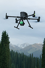
In addition, some surveyors have the privilege to fly over 400 feet high. As a general rule, the higher you can fly, the more efficiently you can cover and survey land. The downside to this approach is that your image resolution and GSD will decrease, but this can be mitigated using more advanced payload technology.
The biggest issue with getting Part 102 certified is the wait time of 6-18 months for CAA to approve your P102 exposition. If you are carrying out surveys where private property permission isn’t required, and you are flying below 400 feet, there is a nice middle ground we recommend. First, obtain the Part 101 Drone Pilot Certificate, which is a two-day course that covers airspace understanding and general aviation theory, followed by a practical drone flight test. Obtaining a Part 101 will teach you how to classify airspace and understand how drone rules differ in each airspace. Having this certification allows you to fly within 4km of an aerodrome with prior approvals.
We have seen this approach successfully implemented for many New Zealand businesses and organisations, including surveyors, power and electricity providers, and local governments. Public interest in drones continues to grow, particularly around safety and privacy, so it is important for surveyors and other professionals to understand their legal obligations while flying drones. While navigating the certification framework for drone operation in New Zealand takes some getting used to, once that knowledge has been gained there is a lot of freedom for surveyors to use this technology across a wide range of projects.
In short, there are two main steps to ensure you’re flying safely and legally: familiarise yourself with the Part 101 rules, and determine what certification level your intended drone activities require. These rules, though comprehensive, are not overly restrictive, making them manageable for all drone operators, including surveyors. By following these guidelines, you can enjoy the benefits of drone technology while staying within the legal framework.
This article also appeared in the Winter Edition 2024 #116 of Surveying + Spatial Magazine
SPEAK WITH A SPECIALIST
Contact our team today to discuss the right solution for you.


