Mapping Drone Comparison
Looking for a mapping drone? Explore your options and choose the right DJI drone for your projects with this simple DJI Mapping Drone Comparison guide.
Need some professional guidance? Get in touch with our expert team.
- Sensor Size
- Resolution
- Surveying Grade
- RTK/PPK Supported
- GSD (cm) @ 120m 24mm
- Pixel Size
- Lens
- Mechanical Shutter
- Minimum Photo Interval
- Smart Oblique Support
- Real-time Terrain Follow
-
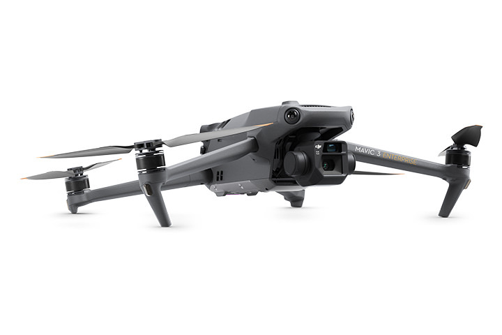
Mavic 3 Enterprise with RTK
- 4/3" 5280 x 3956 (4:3)
- 20MP
- Yes
- Yes
- 1.68cm
- 3.3μm
- 12mm/24mm Equivalent
- Yes
- 0.7s
- Yes
- Yes
-
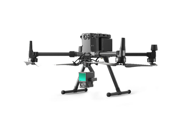
Matrice 350 RTK + L2
- 4/3 CMOS 5280×3956
- 20MP
- Yes
- Yes
- 1.63cm
- 3.3μm
- FOV: 84°; Format Equivalent: 24 mm
- Yes
- 0.7s
- No
- No
-
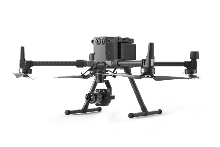
Matrice 350 RTK + P1
- Full Frame 8192 x 5460 (3:2)
- 45MP
- Yes
- Yes
- 1.5cm
- 4.4μm
- Interchangeable between 24,35,50mm
- Yes
- 0.7s
- Yes
- No
-
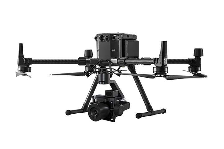
Matrice 350 RTK + Phase One
- Medium Frame 1164 x 8750 (4:3)
- 100MP
- Yes
- Yes
- 1.28cm
- 3.76μm
- Interchangeable between 35mm,80mm,150mm
- Yes
- 0.33s
- Yes
- No


