LiDAR Payload
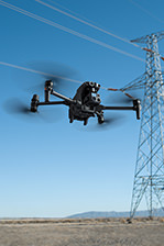
LiDAR, or light detection and ranging, is a popular remote sensing method used for measuring the exact distance of an object on the earth’s surface. Airborne LiDAR is installed on a helicopter or drone for collecting data. As soon as it’s activated, Airborne LiDAR emits light towards the ground surface, which returns to the sensor immediately after hitting the object, giving an exact measurement of its distance.
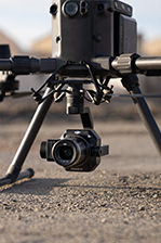
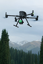
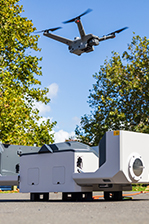
DJI Ferntech brings LiDAR technology to New Zealand with the use of DJI drones. NextCore RN50 is specifically designed to work seamlessly with the DJI M600 and provides high-quality LiDAR data in an easy to use package.
LiDAR boasts many benefits over photogrammetry including excellent tree penetration to create high-quality terrain models under tree canopies, the ability to model large areas while not capturing enormous amounts of excess data, ability to model regardless of lighting conditions.


